blah blah blah
Copple Crown Mountain
Length: 6.3 miles out-and-backDifficulty (click for info): Moderate
Elevation Gain: 1130 feet (+50 feet on return)
Rating (click for info): 6/10
Elevation: 1874'
Prominence: 1214'
Driving Directions:
Trailhead and parking area are on Moose Mountain Road in Wakefield, NH. From the junction of Rt. 16 and Rt. 109, drive west on 109 for 1.2 miles and turn left (south) onto Governors Road. After 0.4 miles, turn right onto Moose Mountain Road. Drive 1.5 miles to a point where the pavement ends and the road forks. The official parking area is 0.4 miles further up this road, but the road becomes quite rough, so it is usually best to park on the roadside here. Click here for a Google map.
Trail map
About the Hike:
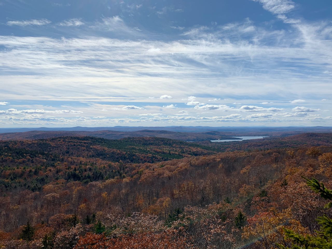
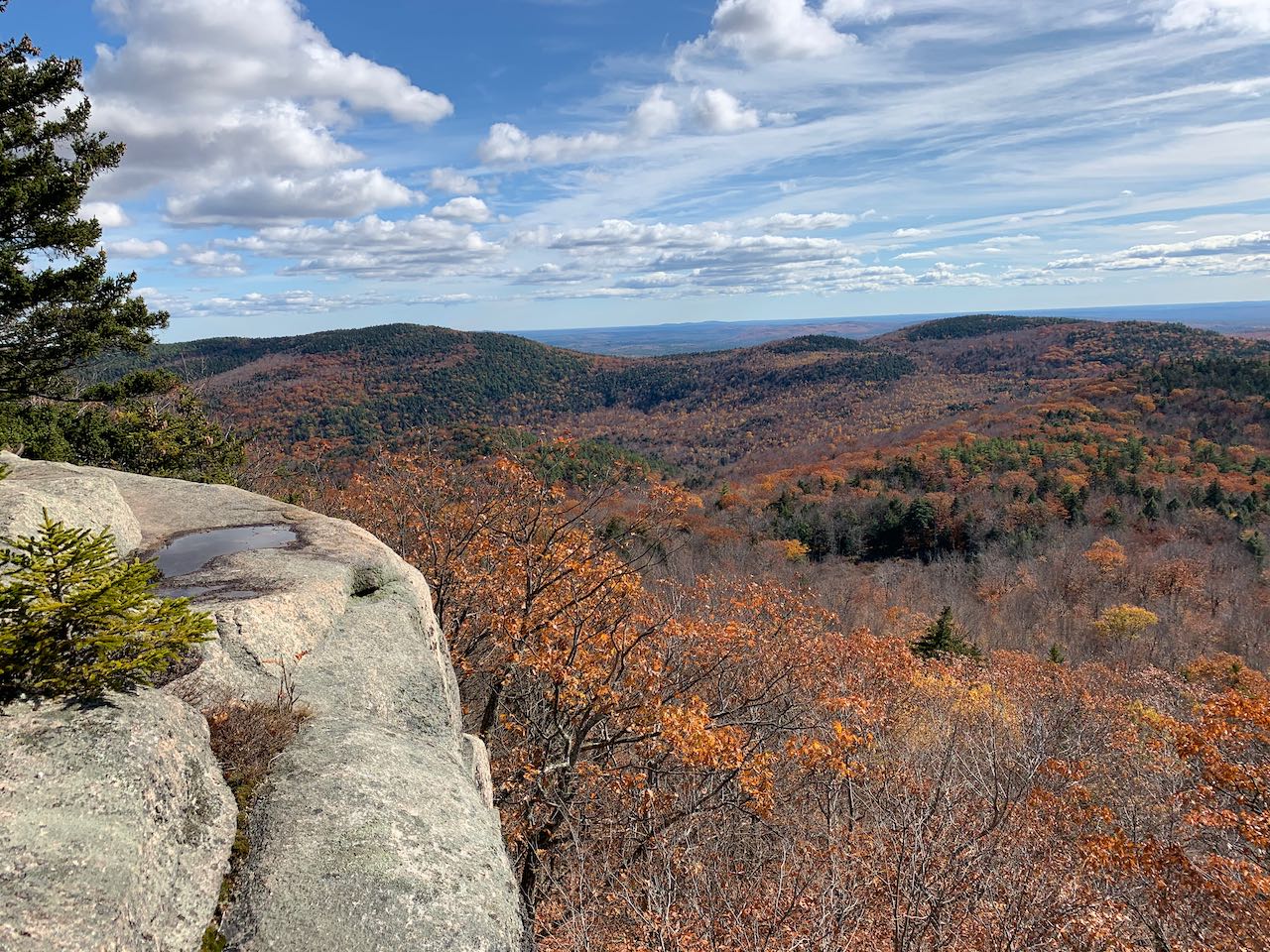
Copple Crown Mountain and its neighbors the Moose Mountains form an isolated mountain cluster to the southeast of Lake Winnipesaukee that can be identified as the only noticeable vertical relief from the Lakes Region to the Maine flatlands when viewed from the north or west. Terrain on the mountain is very gradual, with only steep slopes on the northwest side, above where a small ski area operated in the 1960's. Down on the southwest side, the mountain is crossed by the county line between Strafford and Carroll. Where this line rises to its highest point on the mountain also happens to be the highest elevation in Strafford County. You can climb to the summit on a well-designed and gradual, if somewhat lengthy, trail taken care of by the Lakes Region Conservation Trust. Only a small window of a view can be seen from the top, but not far away there are some great south-facing ledges near the mountain's east summit.
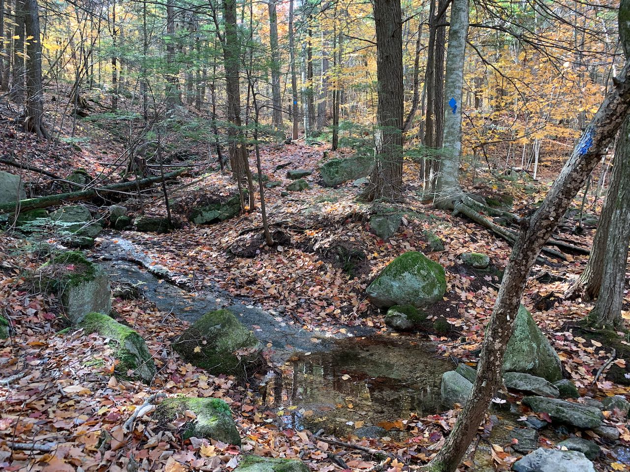
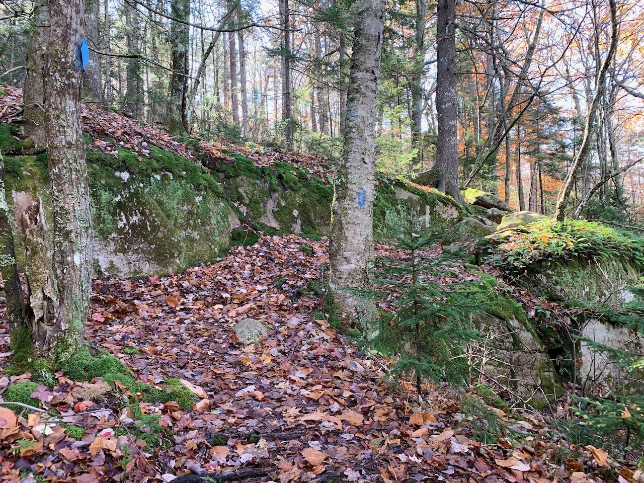
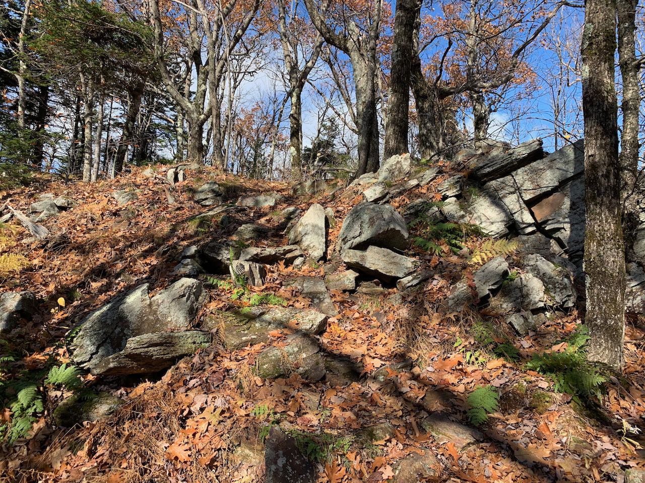
Starting from your parking spot on the road, continue on foot up the class 6 road for 0.35 miles until you reach a clearing, where the official parking area is and the trail begins. You'll see a kiosk and sign at the far end. Walk to the right side of the clearing and follow a woods road, heading uphill along a stone wall. In 0.15 miles, bear left as the trail joins a logging road coming in from the right. It skirts around some logged areas, then takes a straight course along the lower slopes of the mountain. After 0.6 miles, the road runs along the base of an extensive logging cut that reaches far up the mountain in a triangular shape. It soon passes a row of boulders dividing the road from the clearcut area and then swings back into the woods but continues to stay close to the edge. After half a mile, you leave the end of the logging activity behind, bearing right as another road diverges to the left. Shortly after this point, you'll arrive at the foot trail proper. Turn left at a sign for "Copple Crown Hiking Trail". Passing another kiosk, the trail soon joins and makes use of an older woods road as it runs across flat ground, then descends a bit. After 0.3 miles, a sign points the way left at a fork where it departs the old road. Now mounting the slope, the path climbs uphill through rocky conifer woods, soon crossing a small stream. After 0.35 miles, it levels off in a small flat area where the forest opens up into sparse, bright hardwoods. It then resumes its ascent, making vigorous switchbacks up a steeper slope. The environment abruptly transitions back to dark spruces, with mossy ledge shelves and scattered rocks across the hillside. Through the trees off to the right, you observe the incongruous sight of a couple houses just 250 feet off the trail, despite feeling quite far into the woods. The end of the road these houses are located on is where the Copple Crown Ski Area once topped out. After 0.35 miles up zigzagging up the steep slope, the trail takes a left and finds gentler terrain at a junction where a private trail from the houses joins in. It passes over some forested ledges and runs easily for 0.2 miles to a junction where the trail splits.
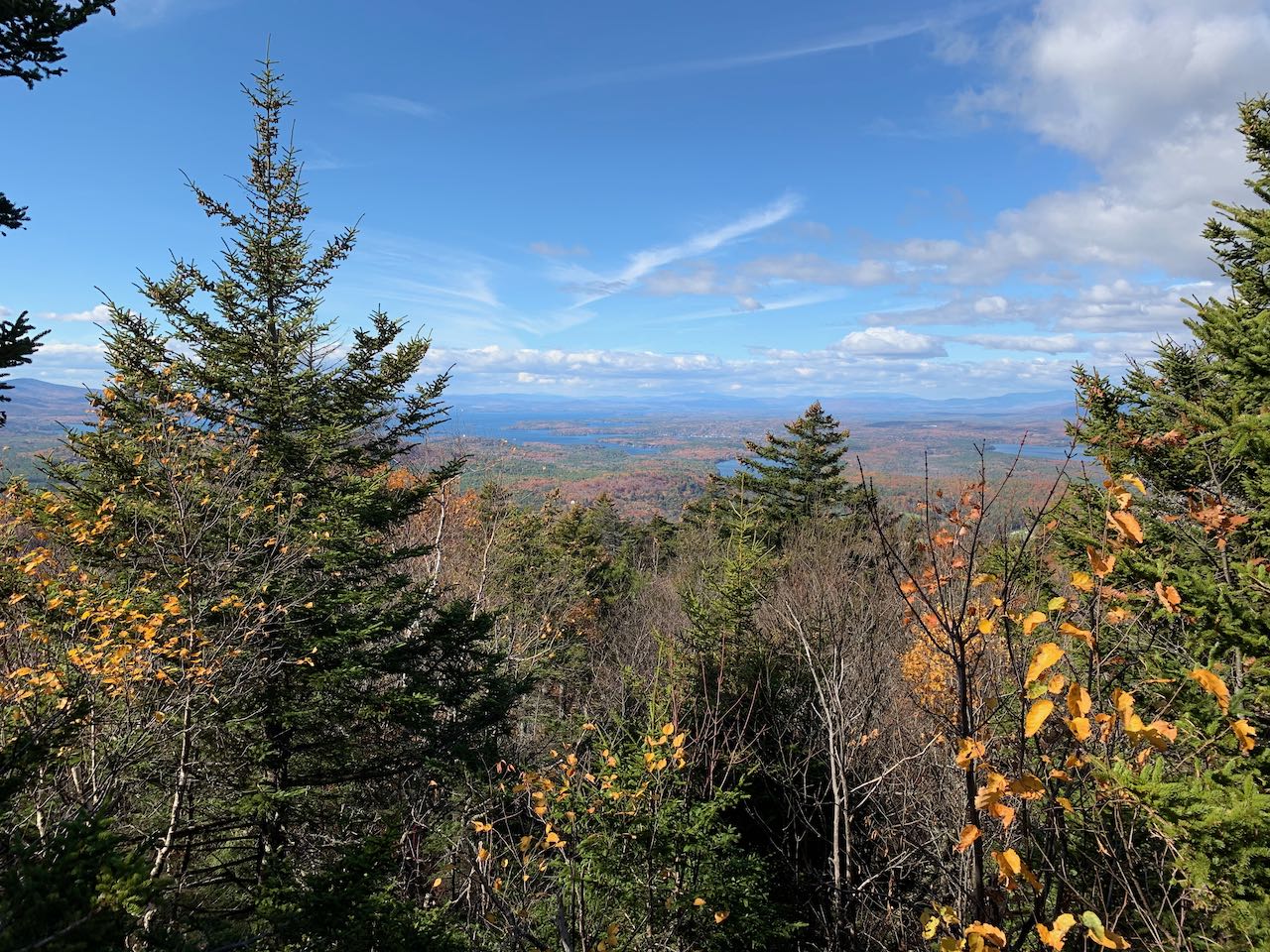
Bearing right to visit the summit first, the trail circles around from the left to climb to the high point, passing through beautiful forest glades. The trail ends at a small rocky knob, where a window in the trees allows a little view across the lakes to the southwestern White Mountains and the Ossipees. To get to the better viewpoint, backtrack to the junction and follow the other fork. The path descends beside an impressive ledge band, drops into a small hollow, and leads across some more forested ledges to reach the open southern cliffs after 0.2 miles. The clifftops are spacious enough, but the dropoff is immediate and high enough to rise over the treetops, so use caution. In the center of the view is the northeastern portion of Merrymeeting Lake, with some distant peaks in view behind, including the Uncanoonucs and Joe English Hill on its left, the Pack Monadnocks straight back, and Mt. Monadnock on its right. Rolling out to the left of the lake are scattered peaks in southeastern New Hampshire, including Catamount, Nottingham, Parker, and Blue Job Mountains. Right up close on the left are the two Moose Mountains. Take a while to enjoy this delightful vista on a sunny day.
Printable directions page